
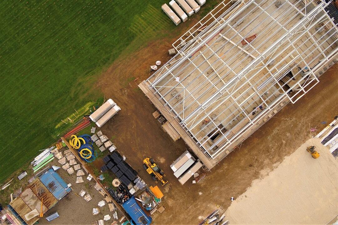
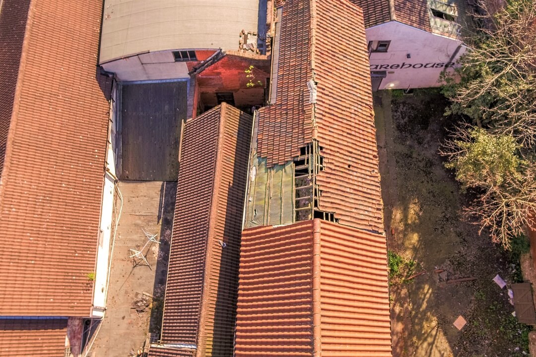
Drones have become an increasingly used tool by surveyors for collecting data in difficult to access areas and producing 3D inspection models and large scale topographical surveys.
There are now alternative terminologies for Drones within the industry, such as Small Unmanned Aerial Vehicles (sUAV's) which, when mounted with all manner of sensors, are referred to as sUAS's (Small Unmanned Aircraft Systems). We're going to stick with "Drones" for now though.
The uses for drone survey images and video is far reaching and extends beyond the realms of commercial land surveyors like us. We have been pushing the capabilities of this fledgling technology to deliver high accuracy and precision, survey grade products and we're delighted to offer drone imagery and video in stunning 4k video and 20mp stills for:
Surveys and Inspection
Property and Estates
Events, Celebrations and Functions
Construction and Commercial
TV, Movie and Documentary
Live Streaming
Speciality Services including school photos and video, thermal imaging, search and rescue/emergency service, private family and friends
Using only qualified drone pilots who are:
Certified by the Civil Aviation Authority (CAA) for Commercial Drone Operations
Insured to a high level, specific to commercial drone operation
Chartered by the Royal Institution of Chartered Surveyors (where appropriate)
Members of the Dronesafe Register
and only after risk assessment and full flight planning has been undertaken.
Back to Services including, Orthorectified Images, 3D Inspection Models, Drone Point Clouds, Measured Building Surveys & Underground Surveys