
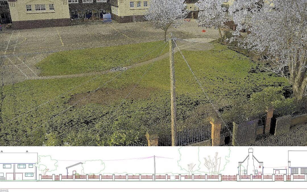
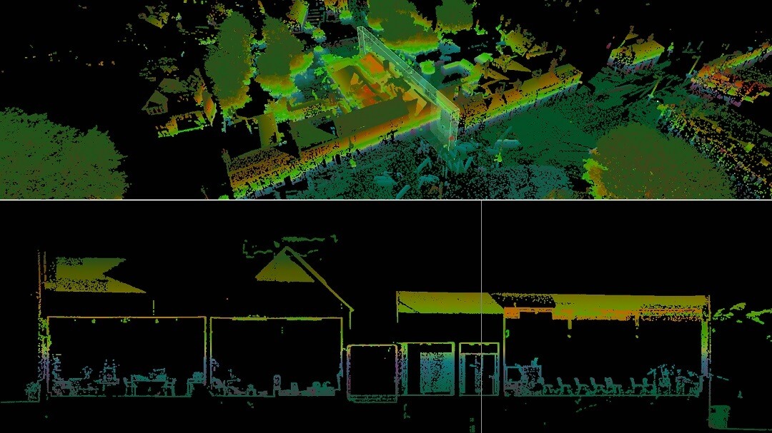
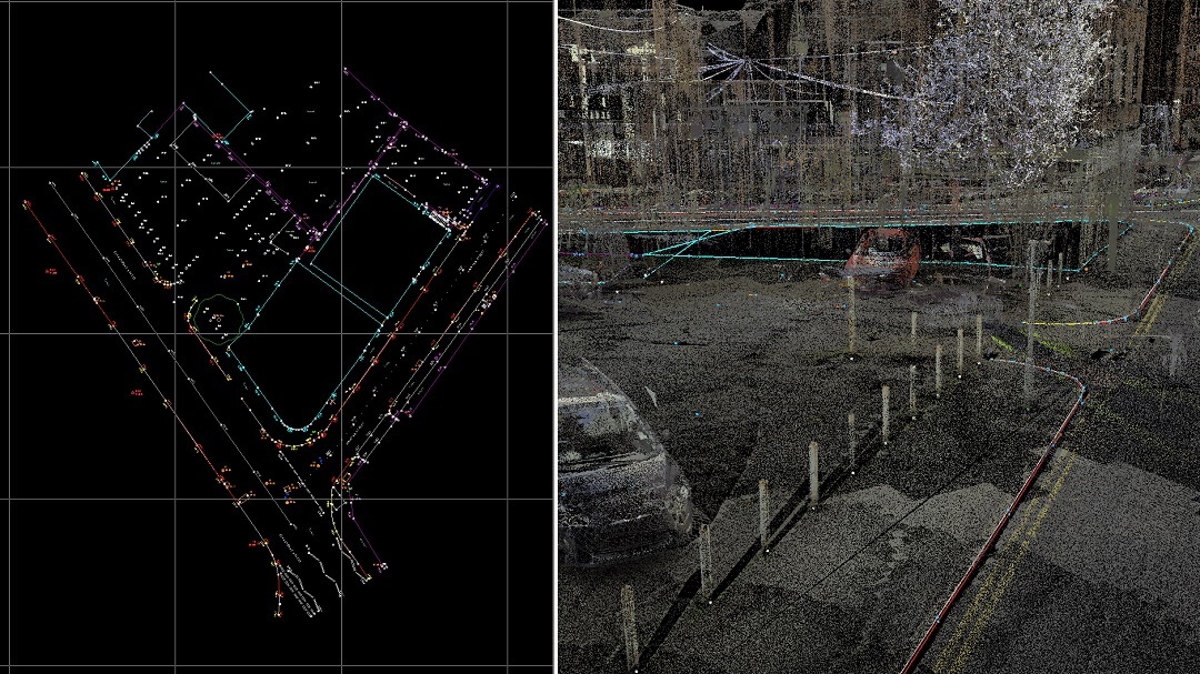
A point cloud survey typically captures every aspect of the subject area in high detail, with or without colour.
Point cloud surveys are undertaken using 3d laser scanners and camera/lidar equipped drones with results carefully controlled with traditional survey instruments. We use these methods as the preferred data collection tools on some measured building surveys and difficult to access land/topographical surveys involving busy highways. Laser scanning and point clouds are a relatively new technology in this field and many clients are predominantly working with the 2D and 3D line drawings extracted from the point cloud. The point cloud is often also provided to allow inspection of the survey area from the comfort and safety of the office environment.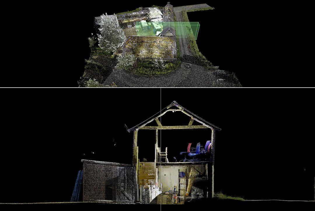
Existing buildings and their proposed designs can be modelled in Archicad or Revit as a Building Information Model. A thorough and accurate point cloud is critical for architects working with this workflow. Point clouds can be provided in a range of densities, with or without colourised points. Fast inspection of the existing fabric and structure of the building can be particularly useful on renovation projects, or buildings with a heritage value.
Back to Services including, Floor Plans, Elevations, Sections, Topographical Surveys, Boundary Surveys, Drone Surveys & Underground Surveys